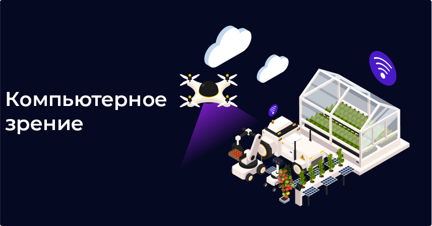
AIS Sokol computer vision is a modular platform for the automated collection and analysis of visual data in agricultural technologies and in the inspection of building structures. The system combines unmanned and stationary sensors, neural network algorithms and edge analytics, which allows you to quickly identify defects, build detailed maps and form recommendations for decision-making.

Main features and functionality
• Data collection
Autonomous drones with RGB, multi and hyperspectral cameras collect data.
Stationary sensors (thermal imagers, LiDAR scanners) for round-the-clock monitoring.
• Image preprocessing
Correction of geometric and color distortions.
Alignment and stitching of aerial photographs into a single panorama.
• Detection of defects and anomalies
Plant diagnostics: identification of stress zones, diseases, lack of moisture (NDVI maps).
Structural inspection: detection of cracks, corrosion, deformations and deposits.
• Map building and visualization
Generation of 2D and 3D maps of fields and objects.
Thermal and vegetation maps with overlay in GIS systems.
• Edge analytics and alerts
Launch models directly on board the drone or on peripheral devices (Jetson, Raspberry Pi).
Automatic notifications of critical anomalies via SMS, e-mail or messengers.
• Reporting and recommendations
Detailed reports describing the detected problems and steps to fix them.
API for integration with the customer's ERP/BI systems.
Technologies used
• AI & CV: neural networks CNN (YOLO, UNet), OpenCV, TensorFlow, PyTorch
• Edge analytics: NVIDIA Jetson, Google Coral, Raspberry Pi
• Drones and sensors: DJI Matrice, multi/hyperspectral cameras, LiDAR, thermal imagers
• Infrastructure: Docker, Kubernetes, 5G/LoRaWAN for data transfer
• Integration platforms: REST API, MQTT, OPC UA
Target audience and customer segments
• Agricultural companies: farms, agricultural holdings, agrotech startups
• Construction organizations: contractors, inspection services, technical supervision services
• GOKi (mining and processing plants): monitoring of quarries, warehouses, and infrastructure
facilities
Development and integration opportunities
• New sensors and platforms
Support for hyperspectral and ultraviolet cameras.
Integration with ground inspection robots.
• Cloud computing and scaling
Automatic scaling of analytics in AWS, Azure, or a local private cloud.
• Integration with GIS and BIM
Export data to ArcGIS, QGIS, Autodesk Revit for further design.
• AI retraining and AutoML
Modules for automatic selection and further training of models based on customer data.
• Mobile and web applications
A portal and mobile client for online access to maps, reports, and live videos from drones.
Conclusion
The Computer Vision platform from AIS Sokol combines advanced AI technologies, CV, edge analytics and unmanned systems for a full cycle of visual data collection and analysis. The solution ensures high diagnostic accuracy in the agricultural sector and construction inspection, accelerates decision-making and reduces operational risks for customers.